GPS/DGPS Survey
DGPS is vital part of any survey today. DGPS (Differential Global Positioning System) is an enhancement to the GPS (Global Positioning Systems) which helps to improve location acceracy of any geographical survey.
Global Positioning System (GPS) Works on the principle of Triangulation for location. Communicates with the satellites in real-time and determines its own location.
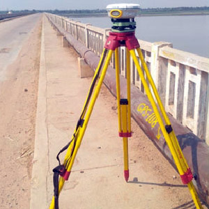
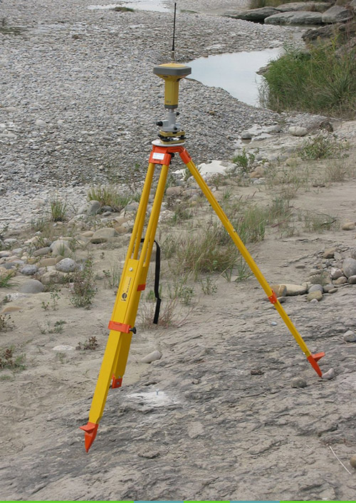
Differential-GPS (DGPS) is a high precision GPS which employs a “Base Station” and a Rover for collecting location data.
The DGPS shall be carried and readings at each station along the periphery shall be taken by a Rover with a minimum observation period of 15 Minutes. Differential correct the DGPS Rover data with base station /control point data.
Establishment of base stations (Control points)
- Base stations to be fixed by Dual Frequency DGPS receivers with SOI Control Point.(to be supplied by deptt.
- The minimum observation time for base station shall be 12 hours from nearest SOI point.
- Required number of control points shall be established in such a way that the distance between
the DGPS base station & rover shall be less than 10 km.
Merits of using a DGPS
- DGPS does not require a line-of-sight for acquiring the Ground Control Points (as against a Total Station).
- A DGPS is suitable for use in a highly undulating / hilly terrain.
- Dense vegetation in a terrain is a deterrent for instruments which require line-of-sight.
- DGPS is easy to handle, and requires less manpower as compared to a Total Station.
- Experience in other areas has shown that a DGPS requires lesser time to survey an area as compared to a Total Station.


DGPS CAPABILITIES
Determine X,Y,Z coordinates of a point to millimeter accuracy.
e.g. Measure Ground Control Points for geo referencing satellite images .
e.g. Perform Topographical Surveys for generating contour data.
Measure/Capture data, precisely, accurately, and in real-time (using RTK).


