Drone Survey

Sidhu Survey Service is a team of talented and experienced individuals building end to end solutions to enable and scale drone operations effectively. A vision to move towards a better future is in the heart of every individual. Creativity and every groundbreaking leap in technology is complimented by that simple dream, which is to change the world and make it more comfortable place to live. Sidhu Survey Service, is a company which is integrated with talented creators and is moving forward to bring new solutions to the customers. Our company offers a premium range of drones and provides image capturing services to the customers so that they can look at the pictures which are out of their reach. Our role as a Manufacturer, has earned prominence throughout the nation for being highly ethical and eminently working business entity. The array of drones comprises Surveying / Mapping, Aerial Inspection & Analysis, Creative Aerial Content and UAV Data Processing.

What are the benefits of Drone Survey?

Less Time And Less Cost

Capturing topographic data with a drone is up to five times faster than with land-based methods and requires less manpower. With PPK geo-tagging, you also save time, as placing numerous GCPs is no longer necessary. You ultimately deliver your survey results faster and at a lower cost.

Map Otherwise Inaccessible Areas

An aerial mapping drone can take off and fly almost anywhere. You are no longer limited by unreachable areas, unsafe steep slopes or harsh terrain unsuitable for traditional measuring tools. You do not need to close down highways or train tracks. In fact, you can capture data during operation without any difficulties to other operations.

Provide Accurate & Exhaustive Data

Total stations only measure individual points. One drone flight produces thousands of measurements, which can be represented in different formats (orthomosaic, point cloud, DTM, DSM, contour lines, etc). Each pixel of the produced map or point of the 3D model contains 3D geo-data.

Our Services

Survey and Mapping

Sidhu Survey Service offers high end drone surveys for land Surveying, and GIS mapping solutions using its UAV surveys throughout Jodhpur, India. Sidhu Survey drone mapping..

Survey and Mapping

Inspection & Analysis

Sidhu Survey Service provides detailed and quick drone inspection for critical asset infrastructure. Our fleet of drones and drone pilots across the country can be deployed on a short notice.

Aerial Inspection & Analysis

UAV Data Processing

We have a team of GIS experts for photogrammetry data processing to cater to your remote sensing and drone survey requirements. Our bunch of high power processing work stations..

UAV Data Processing

Creative Aerial Content

Sidhu Survey Services is a leading aerial drone photography and filming company that has been at the industry forefront with its highly experienced photographers and cinematographers.

Creative Aerial Content

INDUSTRIES SERVED

Transportation

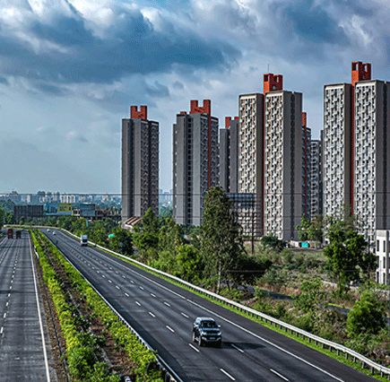
Railway and highway projects supported with GIS, topography surveys, aerial maps, and UAVs crafted with the high-end advanced sensors for surveying, Monitoring & Inspection result in enhanced efficiency and management.

Renewable Energy

Promote reliable data acquisition and diminish risks associated with solar and wind turbine inspections. By Employing and investing in AI-Powered Surveys, thermal maps, and thermal inspection, preserve your asset in top-notch condition.

Mining

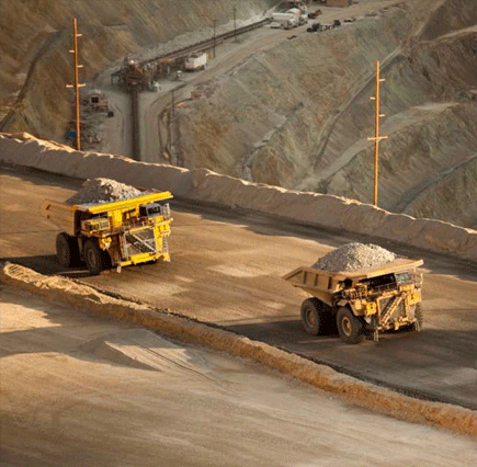
Keep track of your critical assets with AI-powered Volumetric Measurement and analysis with 99% accuracy. We offer nearly 30x faster data collection for Haul Road Optimization, Mine Exploration, and countless other UAV Powered Services.

Utilities

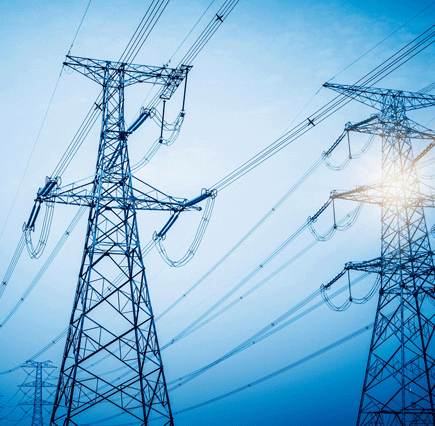
We extend our services to detect, track and analyze damage on Utilities using the cutting edge drone UAV Technology backed with guaranteed Centimeter-level Accuracy.

Infrastructure

Our GIS experts are here to advance knowledge toward your projects with highly-equipped UAVs for 3D City models, Pre-Construction Aerial Survey, drone videos with GEO-Tagged info, drone inspection, City Traffic Analysis, etc.

Agriculture

Through our aerial survey, mapping, and high-end UAVs pioneering precision agriculture, Crop health analysis, Irrigation Planning, Crop Damage Assessment, soil analysis, etc., we cater successfully to the agricultural community with 98% Accuracy.

Oil and Gas

Oil and gas companies utilize drones or UAVs for pipeline inspections and other necessary functions to ensure safety, accuracy, and cost-effectiveness.

Real Estate

Real Estate drone photography can help enhance residential & commercial property features. Aerial photography with drones is imaginative and attractive.

Our Clients